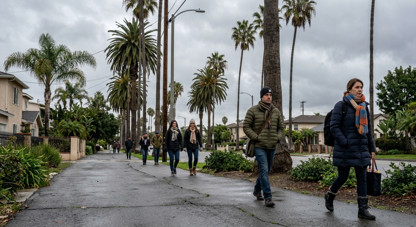
AI-generated illustration; not a photograph of the reported event.
- calendar_today November 10, 2026
Cold Front Set to Arrive Thursday Night
Central Florida residents should prepare for a significant change in the weather this week, as a strong cold front is expected to move through the area late Thursday night. Following several days of warm temperatures in the 80s, the region will experience a sharp drop in both temperature and wind chills, marking the coldest conditions so far this season.
Tuesday's Warmth and Patchy Fog
The week begins with partly sunny skies and daytime highs in the low to mid-80s. Early Tuesday morning may bring some patchy fog, but most areas are expected to remain dry and warm, giving residents a final stretch of summertime conditions before the incoming cold front.
Increasing Rain Chances Midweek
Rain chances will begin to climb Wednesday afternoon and evening as a weather disturbance approaches from the Gulf of Mexico. Scattered showers and storms are possible, with the likelihood of precipitation around 20% to 30%. However, widespread heavy rainfall is not expected during this period, and temperatures will continue to stay in the low to mid-80s through Thursday.
Temperature Drop and Wind Chills Over the Weekend
The arrival of the strong cold front Thursday night will usher in much drier and significantly cooler air across Central Florida. By Friday, afternoon high temperatures will only reach the upper 60s to low 70s, while Saturday is anticipated to be even cooler, with highs hovering in the mid to upper 60s.
The coldest conditions are forecasted for Friday and Saturday mornings, when temperatures are expected to drop into the mid to upper 40s for much of Central Florida. Coastal communities from Cape Canaveral southward may see slightly higher overnight lows, staying in the low 50s.
Breezy northwest winds will accompany the lower temperatures, amplifying the cold through wind chills. Near and northwest of Interstate 4, wind chills could make it feel like 40 to 45 degrees, and in areas near and north of Greater Orlando, wind chills could drop as low as the upper 30s, especially on Saturday morning.
Outlook for the Following Week
The cool spell is not expected to last for long. By Sunday, winds will shift onshore, allowing temperatures to rebound into the low to mid-70s during the afternoon. The start of the following week could see another increase in moisture, with a possible disturbance bringing rain chances back up to between 20% and 40% by Monday and Tuesday.
Stay Updated with the Latest Central Florida Weather
The News 6 Weather team continues to provide updates to help residents stay aware of rapidly changing conditions. Residents are encouraged to stay prepared for the impending cold front, dress accordingly for the weekend, and monitor the forecast as the weather pattern shifts in Central Florida.
Related coverage
Source: clickorlando.com.