- calendar_today October 10, 2026
Hurricane Isaias Transitions After Florida Landfall
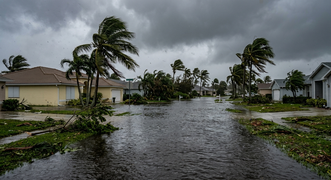
Hurricane Isaias made landfall as a Category 2 hurricane Friday evening in the Florida panhandle, near Destin. Shortly after landfall, Isaias quickly lost its tropical characteristics, becoming a post-tropical low. Despite this transition, the system continues to drive deep tropical moisture northward, maintaining a significant impact on the region's weather.
Expanding Rainfall and Flooding Concerns
As Isaias moves further north, its broad shield of rainfall has begun spreading into the Tennessee Valley and eastward into the Carolinas by Saturday morning. The combination of high moisture levels and the hilly topography of areas such as the Tennessee Valley and the Appalachians is elevating the risk of flooding across the South.
A flood watch is in effect from western Mississippi and Tennessee through all of Georgia and much of South Carolina. The concern for flooding spans from the Atlanta metro area up toward western North Carolina, with areas experiencing moderate to slight risks:
- A moderate threat of excessive rainfall (Level 3 of 4) is forecast for the eastern half of the Atlanta metro northward into western North Carolina.
- A slight risk (Level 2 of 4) includes most of Georgia and South Carolina.
Regions Under Watch
- Western Mississippi
- Tennessee
- Georgia
- Much of South Carolina
Severe Weather and Tornado Threat Increases
In addition to the widespread rainfall threat, forecasters are monitoring an increased risk of severe weather related to the lingering circulation of Isaias. Atmospheric instability, combined with high low-level moisture and deeper convection areas to the east of the system, is creating conditions favorable for supercell tornado development.
Parts of the Southeast are under a slight risk for severe weather Saturday afternoon. This risk region is expected to extend northward, covering the Mid-Atlantic and even reaching southern portions of the Northeast by Sunday.
Potential for Supercell Tornado Development
As Isaias’s remnants continue north, ingredients—including instability and moisture—are in place for possible tornadic activity, particularly within supercells. Residents and emergency managers in these regions are advised to stay alert for rapidly changing weather conditions.
Regional Impacts and Forecasts
The lingering effects of what was Hurricane Isaias are prompting weather officials to urge caution and preparedness throughout affected areas. The Weather team notes:
- Flooding concerns continue from the Southeast into the Tennessee Valley and Carolinas.
- Areas under flood watch may experience rapid increases in river and stream levels.
- Severe weather risks, including the threat of tornadoes, are present as the system advances northward.
Ongoing Monitoring and Preparedness
Officials and meteorologists recommend monitoring weather updates and staying informed about the latest guidance from the National Weather Service regarding hurricane Isaias, isaias flooding, and severe weather hazards. Flash flooding and severe weather threats, including supercell tornado risks, may persist as the remnants of Isaias continue moving north. Residents across the affected regions are encouraged to remain prepared for changing conditions this weekend.
Source: clickorlando.com.