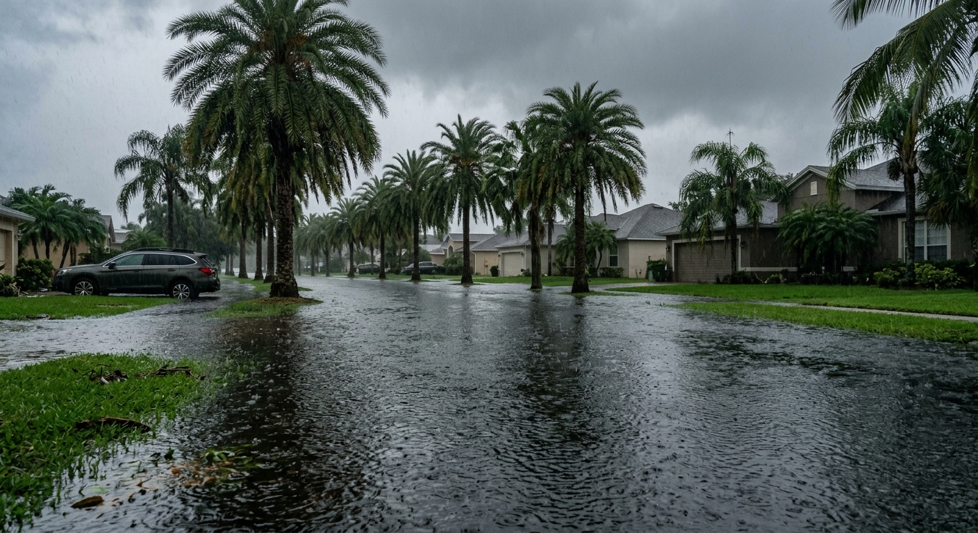
AI-generated illustration; not a photograph of the reported event.
- calendar_today November 17, 2026
Flood Watch in Effect Across Central Florida
Central Florida is bracing for a period of heavy rainfall and increasing flooding threats as a flood watch goes into effect later today. The region is set for repeated rounds of showers and downpours through the end of the week, placing residents and local officials on high alert.
Elevated Flooding Concern Along the Coast
According to weather forecasts, coastal areas are anticipated to see the heaviest rainfall, with several inches possible in localized spots. Wednesday stands out as a day of heightened concern due to the increased potential for flooding. The Weather Prediction Center has placed much of East Central Florida under a Marginal to Slight Risk for excessive rainfall, while parts of the coast are under a Moderate Risk, signaling a higher possibility of significant rainfall and flooding.
Weather Conditions for Tuesday
The forecast for Tuesday includes breezy easterly winds with sustained speeds between 15 and 20 mph, occasionally gusting as high as 30 mph. Scattered showers are possible throughout the day, with rain chances ranging from 20% to 50%, increasing to 60% to 70% overnight as showers move onshore. The flood watch is set to begin later today and continue through Friday evening, as local downpours could also bring gusty winds up to 45 mph and occasional lightning.
Midweek Rainfall and Flooding Threat
Rain chances rise further on Wednesday and Thursday, reaching 60% to 80%. Repeated bands of showers are expected to move inland from the coast, raising the likelihood of flooding. Rainfall totals for parts of Central Florida's interior could reach 3 to 6 inches by the end of the week, with even higher amounts possible along the coast. Isolated locations along coastal areas could see rainfall totals of 8 to 12 inches or more where persistent rain bands develop. The exact locations of the heaviest precipitation remain uncertain, but authorities warn that flooded roads and low-lying areas are of increasing concern.
Safety Advisory
Officials caution residents never to drive through flooded roads, as flooding can be unpredictable and dangerous.
Late Week Developments and Hazardous Conditions
High rain chances are expected to persist through Friday, with a gradual decrease in coverage into the weekend and early next week. An area of low pressure is forecast to develop near the northern Bahamas, tracking northward in parallel to Florida’s east coast from Friday into Saturday. As this system moves away, winds should ease and shift in direction, but the flood watch remains in effect through Friday evening. Coastal and marine conditions are expected to remain hazardous even as overall rain chances begin to diminish.
Ongoing Weather Updates
The News 6 Weather team continues to monitor conditions, ensuring residents receive the most up-to-date weather information throughout the flood watch period and beyond.
Related coverage
Source: clickorlando.com.