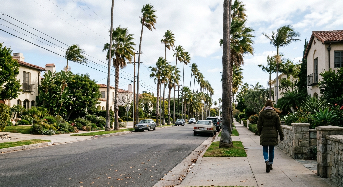
AI-generated illustration; not a photograph of the reported event.
- calendar_today November 13, 2026
Coldest Air So Far This Season for Central Florida
Central Florida residents are in for the coldest mornings of the season following the passage of a strong cold front. As the front clears early in the day, significantly lower temperatures and brisk winds are forecast to move into the region.
Friday: Temperatures Drop and Winds Increase
The colder weather will be noticeable starting Friday morning, with lows in the 50s and 60s. Temperatures will remain cool throughout the day, as afternoon highs struggle to reach the 70s. Winds from the northwest are expected to pick up, with gusts reaching up to 20 mph at times, contributing to an even chillier feel across Central Florida.
Saturday: The Coldest Morning Yet
Saturday morning is projected to bring the coldest conditions of the season to date for much of the region. Forecasts indicate actual temperatures in the 40s and 50s, with wind chills dipping into the low to mid-40s, especially throughout interior communities. While there will be abundant sunshine during the day, Saturday afternoon highs will likely remain in the 60s. Some locations along the southern coast could experience temperatures approaching 70 degrees.
Sunday: Continued Chilly Start, Gradual Warm-Up
The chilly trend continues into Sunday morning, with temperatures again dropping into the 40s for many inland areas. Unlike previous mornings, however, Sunday will see a rebound as afternoon highs rise into the 70s, signaling the start of a warming trend.
Next Week: Warming Trend and Chance for Rain
Looking ahead, the weather pattern in Central Florida shifts as winds turn onshore and moisture levels rise. This change is expected to drive temperatures upward further into next week. As a result, rain chances will return, potentially beginning as early as Monday. Forecast models currently differ on the development and track of a possible disturbance targeting the Gulf and Florida, so there remains uncertainty about the timing and location of the heaviest rainfall. Wetter days, particularly along the coast, could arrive by Tuesday and Wednesday, but the situation will be monitored closely.
Stay Informed with Daily Forecast Updates
The News 6 Weather team recommends staying updated as forecast details evolve, especially with the prospect of heavier rain and changing temperatures. Central Florida residents should prepare for cold mornings at the end of the week, with jackets a must especially on Saturday and Sunday mornings, before the weather transitions to a warmer and wetter pattern next week.
Related coverage
Source: clickorlando.com.