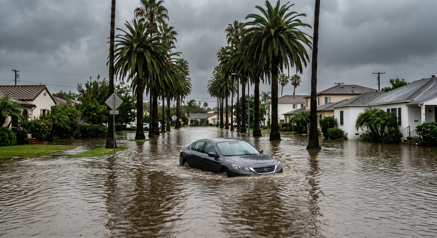
AI-generated illustration; not a photograph of the reported event.
- calendar_today November 3, 2026
Heavy Rainfall Overwhelms Brevard County
Brevard County, Florida, experienced severe flooding after what officials described as "borderline historic" rainfall submerged neighborhoods and left many residents stranded on November 2, 2026. Streets turned into rivers, cars floated in deep water, and some people were trapped in their homes and vehicles as the storm overwhelmed local infrastructure.
Widespread Disruptions and Emergency Response
The Brevard County Sheriff's Office reported instances of people trapped inside homes and vehicles due to rapidly rising waters. Sheriff Wayne Ivey stated that emergency crews deployed large, high-clearance vehicles to reach affected areas where standard vehicles could no longer navigate the flooded roads.
“In some of the areas, the water has just gotten too high for any time of accessible vehicle traffic,” Ivey said.
Resident Accounts: Flooding Comparable to Hurricanes
Palm Bay resident Kevin Eggert compared the situation to previous hurricane events: “It looks just like it did back in ’04 when we had that hurricane. We’re getting the same amount of water that we got during a hurricane.” Images from around the county showed residents wading through waist-deep water as their neighborhoods remained submerged.
Public Services, Schools, and Healthcare Disrupted
The flooding led to multiple disruptions of daily life. Brevard Public Schools canceled classes on both Monday and Tuesday following the storm. City services, including trash pickup, were suspended, and major healthcare networks called off elective surgeries due to the dangerous conditions.
Infrastructure Struggles to Cope with Rapid Rainfall
John Scott, the county's emergency management director, emphasized that the extraordinary volume of rain exceeded the capacity of stormwater systems. “It’s so much water in such a short amount of time that our stormwater, regardless of how robust it could be, it just can’t move that amount of water,” Scott explained.
Officials also cautioned that potential damage to roadways might be hidden beneath the floodwaters, and saturated soil was causing trees to fall, threatening power lines in several neighborhoods.
Next Steps and Ongoing Assessments
The storm system was expected to exit the area by Monday evening. Local authorities stated they would begin a more thorough assessment of the damage and start planning for repairs and recovery in the days ahead.
Related coverage
Source: clickorlando.com.