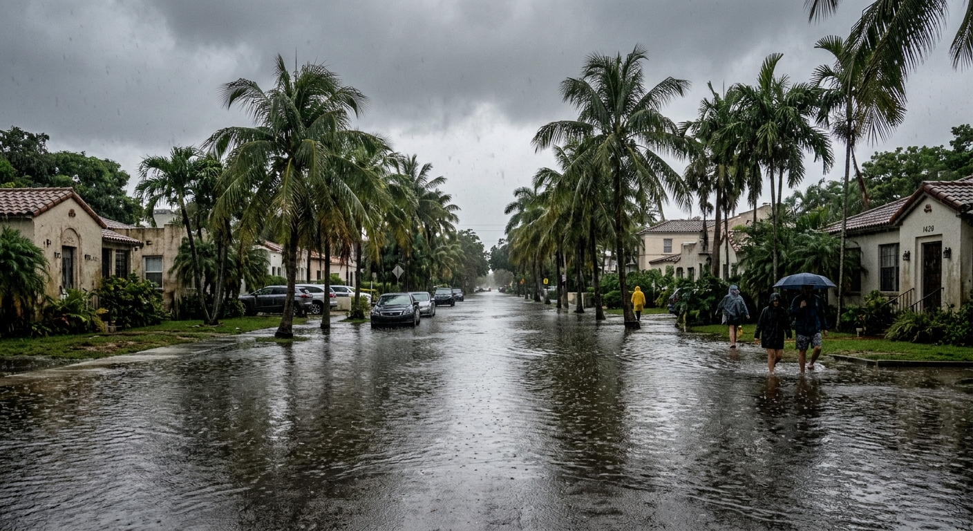
AI-generated illustration; not a photograph of the reported event.
- calendar_today November 18, 2026
Central Florida Remains Under Flood Watch
Central Florida is dealing with a significant flooding threat as several days of heavy rain continue across the region. The News 6 Weather Team has declared Wednesday through Friday as Weather Alert Days in anticipation of widespread flooding and substantial rainfall totals expected this week.
Flood Watch in Effect Across East Central Florida
A Flood Watch remains in place for nearly all of East Central Florida through Friday. While the most serious concern is for coastal areas, forecasts indicate that flooding is also possible further inland. Authorities are urging residents to stay alert for changing conditions and comply with all safety advisories.
High Rain Chances With Torrential Downpours
Deep tropical moisture continues to drive high rain chances across Central Florida, with forecasts estimating an 80% to 100% chance of additional showers and isolated lightning storms through Friday. The region is expected to experience multiple rounds of torrential downpours. Predicted rainfall totals range from 4 to 6 inches in most areas, with coastal regions possibly receiving 8 to 12 inches. Highly localized totals could exceed 12 to 20 inches, especially in Flagler, Volusia, and Brevard counties.
The Weather Prediction Center currently places parts of the East Central Florida coast under a Moderate Risk (Level 3 out of 4) for excessive rainfall through Friday. Much of the interior holds a Slight Risk (Level 2 out of 4). Saturated ground conditions mean additional rain could quickly result in street flooding and rising water levels.
St. Johns River Flooding Adds to Concerns
Flooding issues along the St. Johns River continue to present challenges after weeks of exceptional rainfall in the upper portions of the river basin. Continued rain is expected to drive river levels even higher this weekend. Although the likelihood of rain may decrease toward the end of the week, improvements in river flooding could lag behind. Residents living near the St. Johns River are encouraged to monitor forecasts and local water levels closely.
Weather Outlook for the Weekend
Forecasters expect a developing area of low pressure near the northern Bahamas to move north and offshore of Florida on Saturday. Winds should decrease as drier air arrives in Central Florida late in the weekend. Rain chances will fall to between 25% and 50% by Saturday, with drier, more stable weather expected Sunday into early next week, allowing conditions to gradually improve throughout the region.
Flood Safety Reminders
Officials caution drivers never to cross flooded roadways and to turn back if a road is submerged. Street flooding can occur rapidly when the ground is saturated, and additional rainfall could exacerbate conditions in flood-prone areas.
Stay Informed With Latest Weather Updates
The News 6 Weather Team will continue to monitor conditions and provide updates. Residents are urged to stay aware of any developing changes, observe local advisories, and check forecasts frequently as the region faces the ongoing risk of central florida flooding.
Related coverage
Source: clickorlando.com.