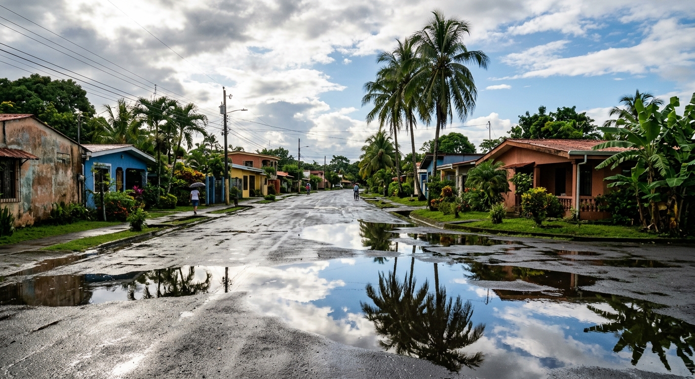
AI-generated illustration; not a photograph of the reported event.
- calendar_today November 3, 2026
Central Florida Weather Shifts to Drier Pattern
After several days marked by persistent rainfall, Central Florida is entering a period of decreasing rain chances. According to Chief Meteorologist Candace Campos, the forecast indicates that while scattered showers and isolated storms will linger through midweek, the region is approaching a drier spell. Widespread heavy rain is becoming less likely as the atmosphere stabilizes, offering residents relief from recent wet conditions.
Tuesday and Wednesday: Easing Rain but Flood Concerns Remain
An upper-level disturbance that had contributed to extreme rainfall on Monday is now weakening, leading to a general calming of weather conditions. For Tuesday, rain chances are forecasted at 50% to 60%, and these will continue to decrease by Wednesday. Despite the improving forecast, flooding remains a concern in areas hit hardest by Monday’s rainfall. A Flood Watch remains effective for Volusia and Brevard counties until 10 a.m. Tuesday, as the risk of localized flooding endures.
Intermittent sunshine is expected, allowing temperatures to reach into the lower 80s. Winds from the east will stay breezy, with gusts between 15 and 25 mph, adding to the varied weather pattern.
Impact of Recent Flooding
Heavy rain on Monday led to notable impacts, particularly in Palm Bay, where a bridge collapse and road washout occurred between Sadnet Circle NE and Vance Circle NE. The area was completely blocked, and a stranded car was reported fully submerged. Flooding in these hotspots highlights the ongoing risk as the region transitions out of its rainy phase.
Drier Conditions Arrive Thursday and Friday
Heading into Thursday and Friday, drier air is forecasted to move into Central Florida, pushing rain chances down to 20% or less. Residents can expect partly to mostly sunny skies and daytime highs in the mid-80s. This marks a break from recent storms and a shift to a more pleasant weather outlook for the remainder of the week and weekend.
Looking Ahead: Possible Cold Front and Cooler Temperatures
The next significant change on the horizon is a potential cold front forecasted to approach late Sunday into Monday. This system could bring a renewed chance of showers and storms, though rain probability currently ranges from 20% to 30%, and timing as well as strength remain uncertain. Behind the possible cold front, cooler air is anticipated. Forecasts suggest temperatures may struggle to reach 80 degrees next Tuesday, with overnight lows possibly dipping into the 50s.
Stay Informed with Daily Forecast Updates
The News 6 Weather team encourages residents to stay up to date with the latest central Florida weather changes, as conditions can evolve rapidly. Ongoing forecast updates are available to help keep the community informed about rain chances, temperature fluctuations, and any active weather alerts such as flood watches.
Related coverage
Source: clickorlando.com.