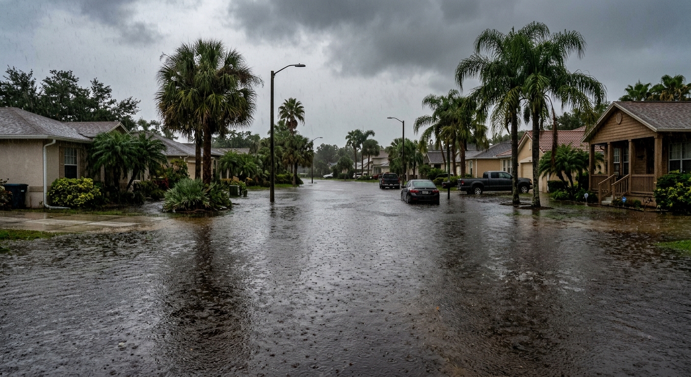
AI-generated illustration; not a photograph of the reported event.
- calendar_today November 20, 2026
High Risk of Flash Flooding Across Central Florida
Central Florida is bracing for an elevated flood threat as torrential rain returns to the region Friday morning. Areas already saturated from previous rainfall are at particular risk, with the latest weather patterns intensifying concerns for flash flooding and ongoing inundation.
Flood Watch Remains in Effect
A Flood Watch continues through Friday evening, as emphasized by the News 6 Weather Team. The monitoring is especially focused on Brevard and Volusia counties, where the heaviest additional rainfall is forecast. Coastal communities in these areas face the most significant impacts, with the risk of flash flooding heightened due to already saturated ground conditions.
Expected Rainfall Totals and Impacted Areas
This new round of rain is producing bands pushing ashore from the coast, with the most intense precipitation affecting central and northern Brevard County. Accumulations of another 2 to 4 inches of rain are expected across much of the region by Saturday, with Brevard and Volusia counties likely to experience the highest totals.
Coastal zones in these counties could see an additional 4 to 8 inches of rain, with localized pockets of even higher amounts, intensifying the central Florida flooding threat. Downpours on already waterlogged ground are expected to worsen current flooding, especially in flood-prone and low-lying communities.
Excessive Rainfall Warnings
The Weather Prediction Center has placed the Space Coast and Volusia County under a High Risk (Level 4 of 4) for excessive rainfall today. This is the highest issued risk category. Slight to Moderate risk levels (Levels 2 and 3) extend into interior regions. The primary threats in the next 24 to 48 hours are locally heavy rainfall and dangerous flash flooding, which may challenge emergency response and affect travel.
St. Johns River Flooding Reaches Historic Levels
The St. Johns River continues to swell after weeks of exceptional rainfall across its upper basin. The river near Cocoa has recently surged to 18.48 feet, surpassing the previous record from 1953. Continued heavy rain is expected to push river levels even higher into the weekend and early next week, heightening long-term flooding concerns along the river corridor.
Even as rain chances are forecast to drop over the weekend, river flooding may persist through most of December, keeping many communities on alert for rising water levels.
Wind Advisory and Weather Hazards
In addition to rain-related threats, a Wind Advisory is in effect for coastal Volusia and northern Brevard counties through 7 a.m. Saturday. Northeast winds are expected to strengthen, with sustained winds of 15 to 25 mph and gusts up to 35 or 40 mph possible in affected coastal areas. These conditions could contribute to beach erosion and minor property damage.
Weekend Outlook for Central Florida
Forecasts suggest rain probabilities will drop to between 20% and 50% on Saturday as the influencing low-pressure system moves north. Drier conditions are anticipated Sunday and Monday, though the potential for a few scattered showers could return by early next week on Tuesday and Wednesday.
The News 6 Weather Team continues to provide comprehensive coverage and daily weather updates on developing flooding and severe weather conditions across Central Florida.
Related coverage
Source: clickorlando.com.