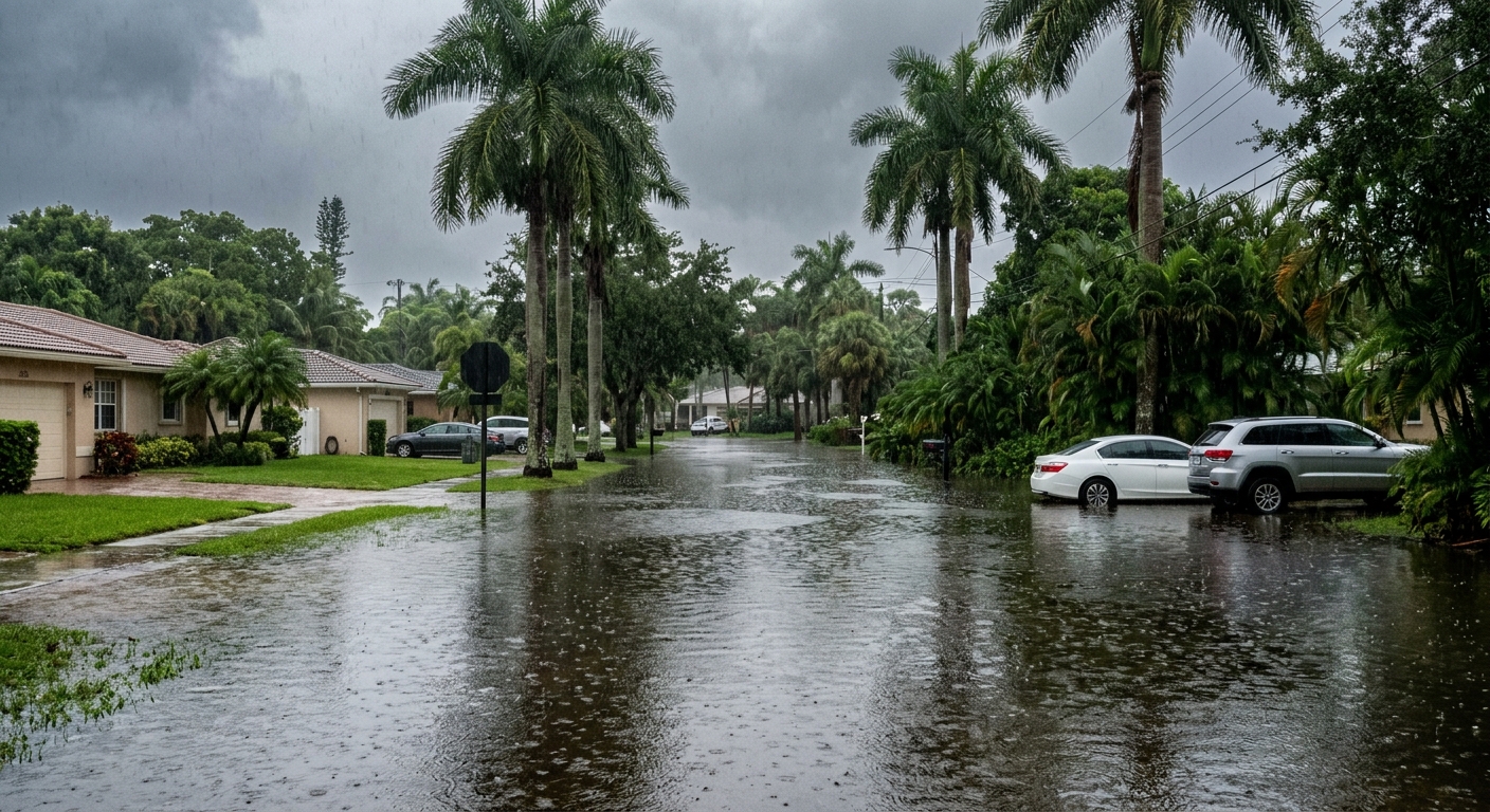
AI-generated illustration; not a photograph of the reported event.
- calendar_today November 19, 2026
Persistent Heavy Rain Continues Across Central Florida
Central Florida is experiencing another wave of relentless rainfall, driving an escalating threat of significant flooding throughout the region. Early Thursday, widespread rain bands continued to move onshore, especially affecting central and northern Brevard County.
Weather Alert Days Issued Due to Flood Threat
The News 6 Weather Team has designated both Thursday and Friday as Weather Alert Days in response to the ongoing risk. Nearly all of east Central Florida remains under a flood watch that extends through Friday. The warning comes as the scale and persistence of the rainfall significantly elevate concerns for resident safety and property conditions.
Heavy Rain Totals and Further Downpours Expected
Several coastal communities, notably in Brevard and Volusia counties, have already received between 8 and 10 inches of rainfall during the current event. Forecasts suggest an additional 5 to 10 inches of rain could fall through Friday night in many of these same areas. Isolated locations near the coast could see even higher totals, potentially exceeding 15 inches. Rainfall chances across the region remain high—between 80% and 100%—with continued showers and the possibility of isolated thunderstorms producing wind gusts of 30 to 45 mph and occasional lightning. The brunt of the concern centers on these repeated torrential downpours, which further stress drainage systems and increase the likelihood of flash flooding.
Risk Levels and Safety Warnings in Place
The Weather Prediction Center has designated parts of the east Central Florida coast as being at a Moderate Risk (Level 3 out of 4) for excessive rainfall into Friday, while much of the interior holds a Slight Risk (Level 2 out of 4). Residents are urged to exercise caution, especially when traveling. Safety officials continue to warn: never drive through flooded roadways and always turn around if water is covering the road.
Record River Flooding Reported in Cocoa
Flooding along the St. Johns River near Cocoa has reached historic proportions. Overnight, river levels ascended to 17.6 feet, topping the previous record of 17.55 feet set back in October 1953. The swollen river has already caused extensive flooding, and continued rainfall is expected to push water levels even higher into the weekend and potentially into the following week.
Monitoring Tropical Development Near Bahamas
While rain continues to plague Central Florida, meteorologists are monitoring an area of low pressure expected to organize near the northern Bahamas by Friday. The National Hurricane Center has raised the chance of subtropical or tropical development to 60% over the next five days and plans to send reconnaissance missions to investigate the system this weekend. Forecast uncertainty remains regarding how close this potential system may track to Florida's east coast. A path closer to the coast could intensify rain and winds, while a more offshore movement might bring drier air into the region. Forecasters agree that, regardless of development, current impacts in Central Florida will persist through Saturday.
Outlook: When Will the Rain Subside?
The forecast calls for a gradual decrease in rain chances by Saturday, dropping to 20% to 50%. Drier conditions are anticipated for Sunday and Monday, bringing a much-needed respite, though a few showers may return by Tuesday and Wednesday.
Related coverage
Source: clickorlando.com.